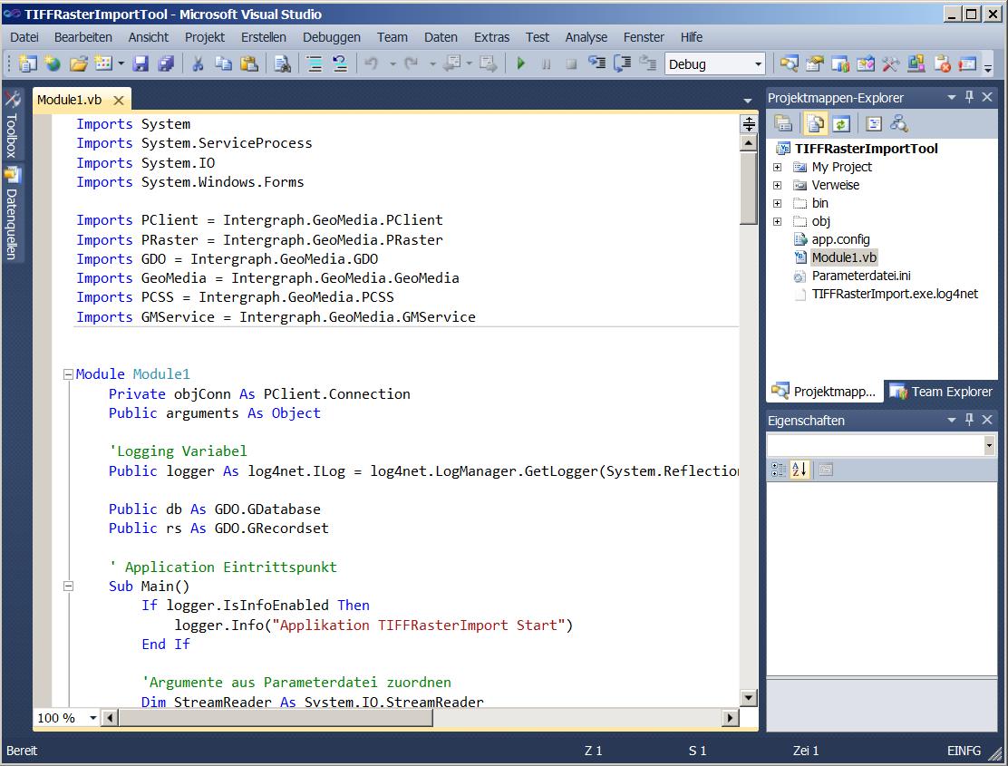
 | Programming GeoMedia custom TIFF-Import Tool |
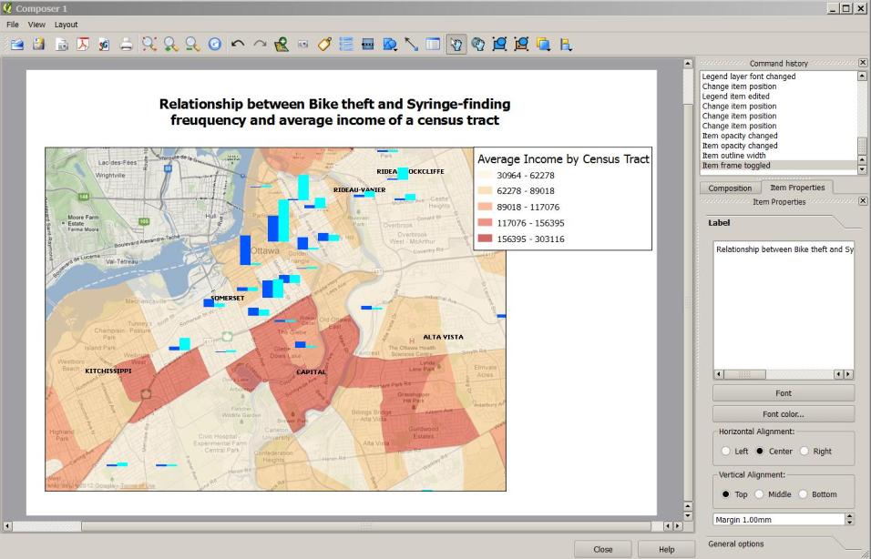 | Creation of Quantum GIS 1.8 Tutorials |
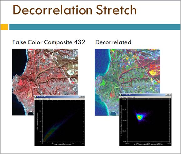 | Teaching Advandced Remote Sensing |
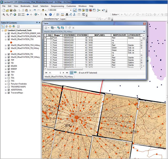 | Database Design and Digitizing of archived field data using ArcGIS 10 |
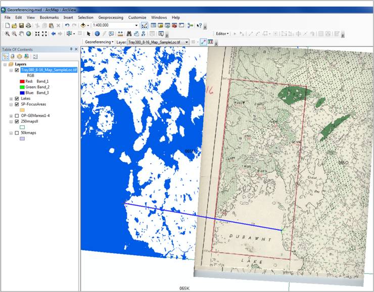 | Georeferencing of scanned fieldmap material using ArcGIS 10 |
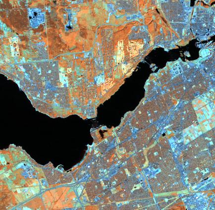 | Organizing SPOT and CDED data for surface geology mapping using ArcGIS 10 and ENVI 4.8 |
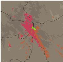 | Suitability analysis for surveillance equipment creating Binary and Index Models using ArcInfo, Spatial and 3D Analyst. Publication in preparation. |
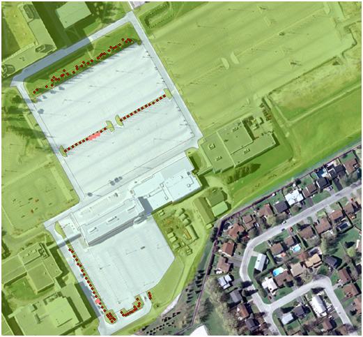 | Campus based survey employing ArcPad and GPS technology. |
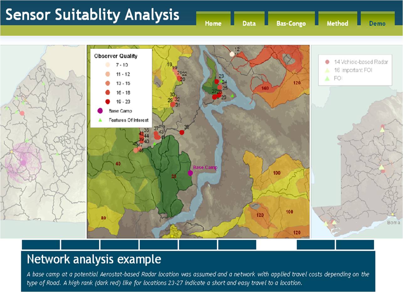 | Web Mapping and webpage design for student projects. |
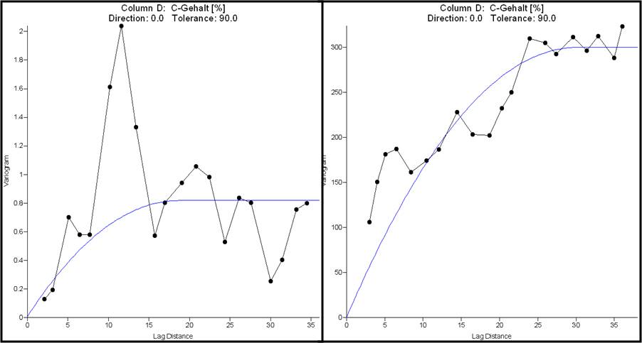 | Field work on carbon concentration of soils in the geomorphologic context. |
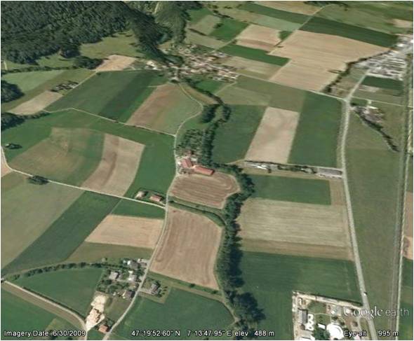 | Mapping river shorelines to evaluate agricultural impact. |
 | Evaluating suitable locations for community gardens in urban areas employing aerial photographs and the geodata viewer of the Canton Baselland. |
